Satellite images appear to show China developing areas along a disputed border with Bhutan, igniting deep strategic and demographic ramifications for India, TRT World reported.
India-China tensions flared after the release of new satellite images which revealed the Chinese construction of a village along a disputed border shared by India and Bhutan, previously the site of months of military standoff.
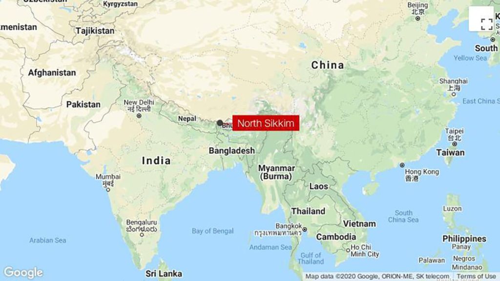
Tensions were already high after India and China engaged in a bloody clash along another disputed border in the Himalayas earlier this year, leaving at least 20 soldiers dead. It marked the worst conflict between the two countries since they fought a war over the same territory in 1962.
The US-based satellite operator, Maxar Technologies, which published the images on October 28 2020, notes “significant construction activity this year all along the Torsa River valley area.” More recent footage further identified “new military storage bunkers” near Doklam.
The satellite imagery appears to show military-grade, hardened ammunition depots, 2.5 kilometres away from the strategic eastern periphery of the contested Doklam plateau near the border between Bhutan and China in the area.
Bhutan’s claimed border runs along the northern ridge of the strategic Doklam plateau, where a 73-day military standoff between India and China previously took place in 2017. China’s claim of the border includes the large majority of the Doklam area within its Chumbi Valley.